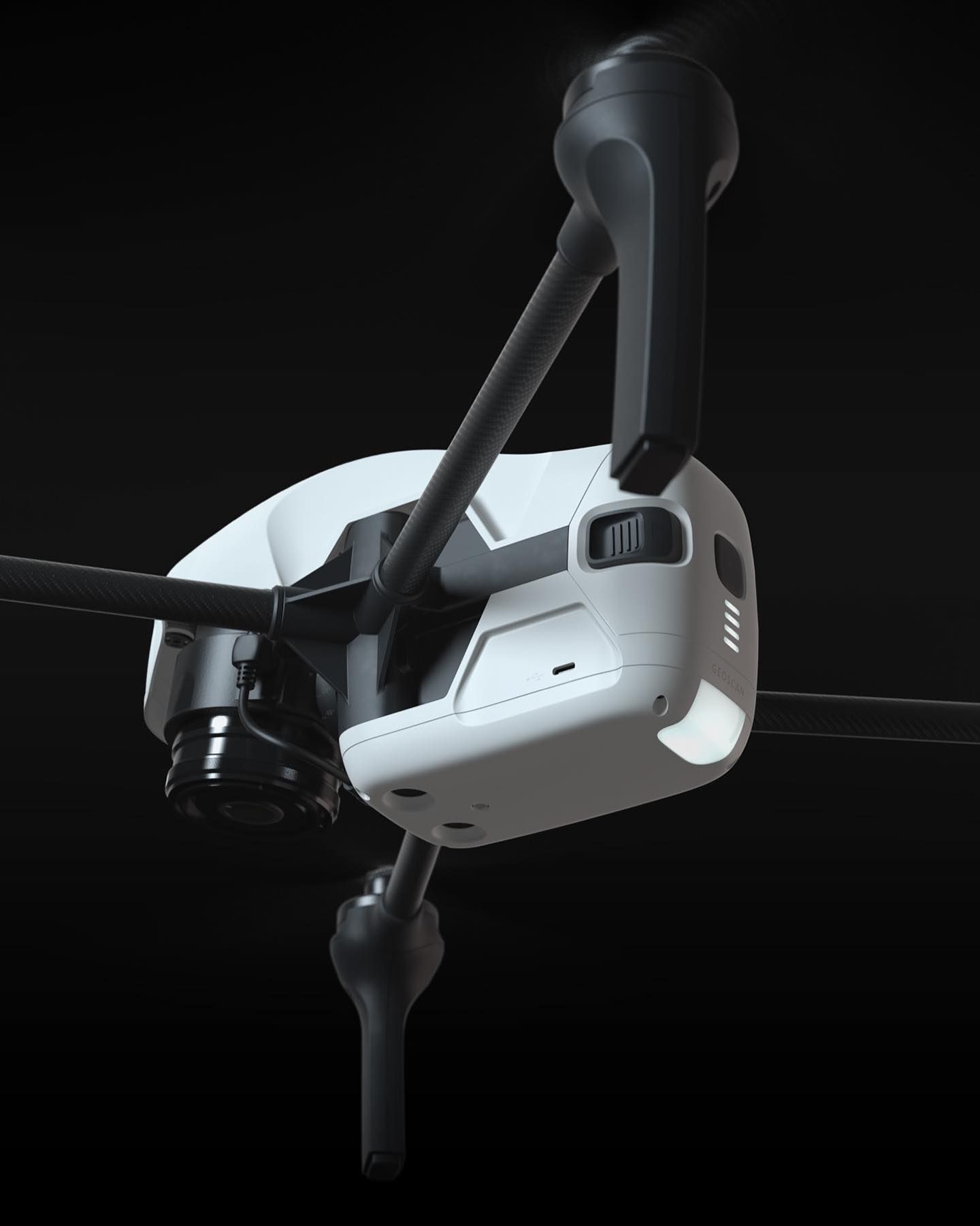
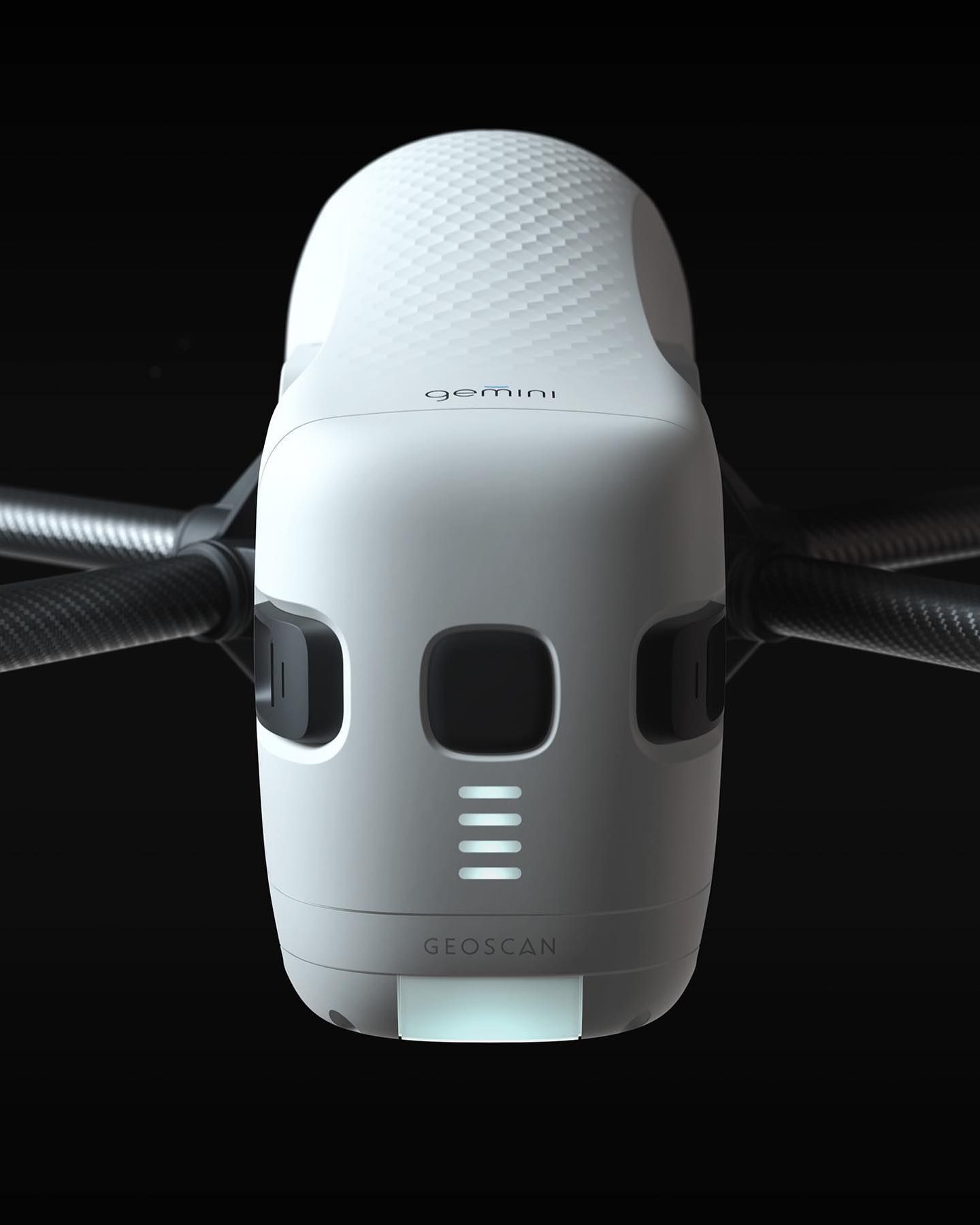
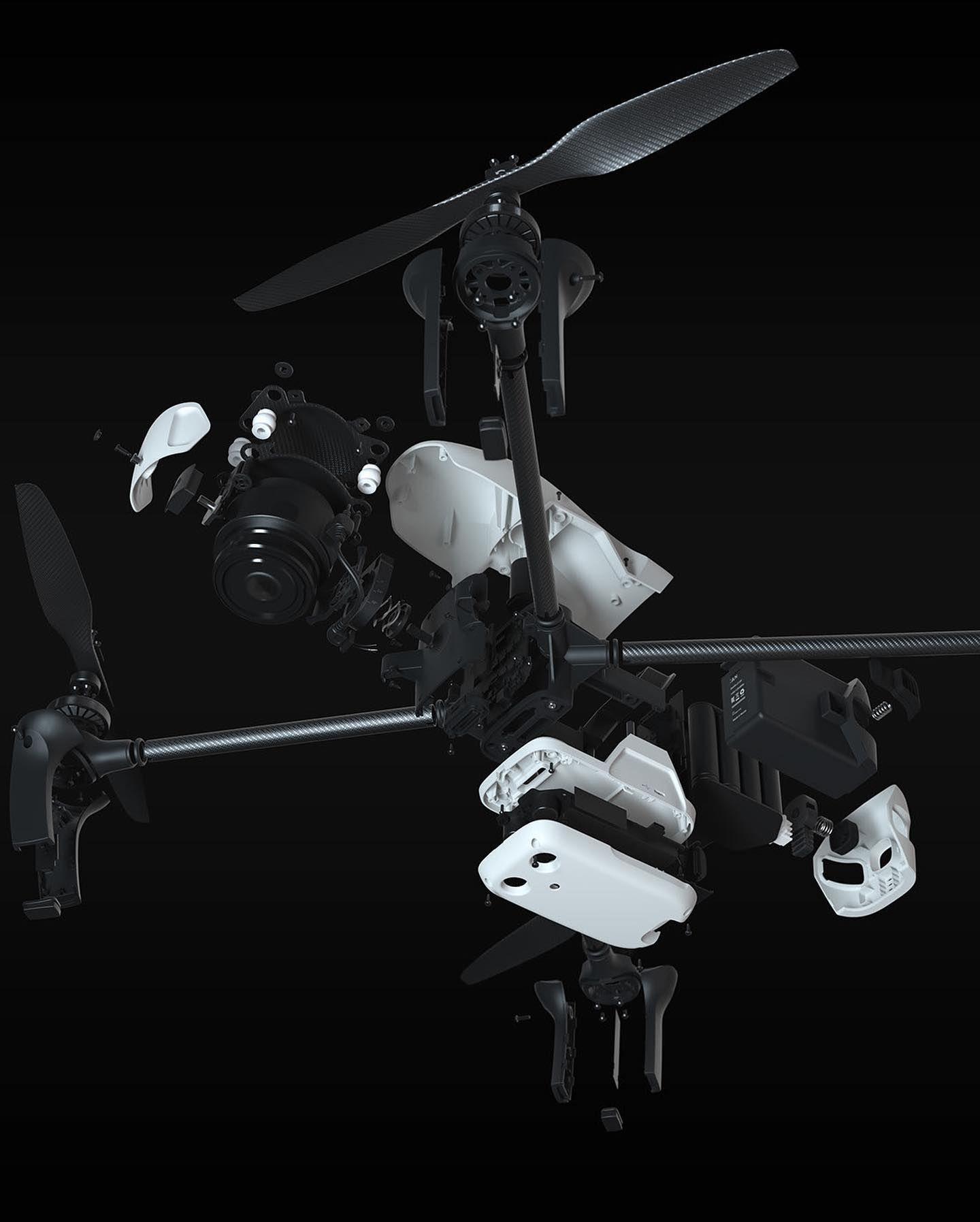
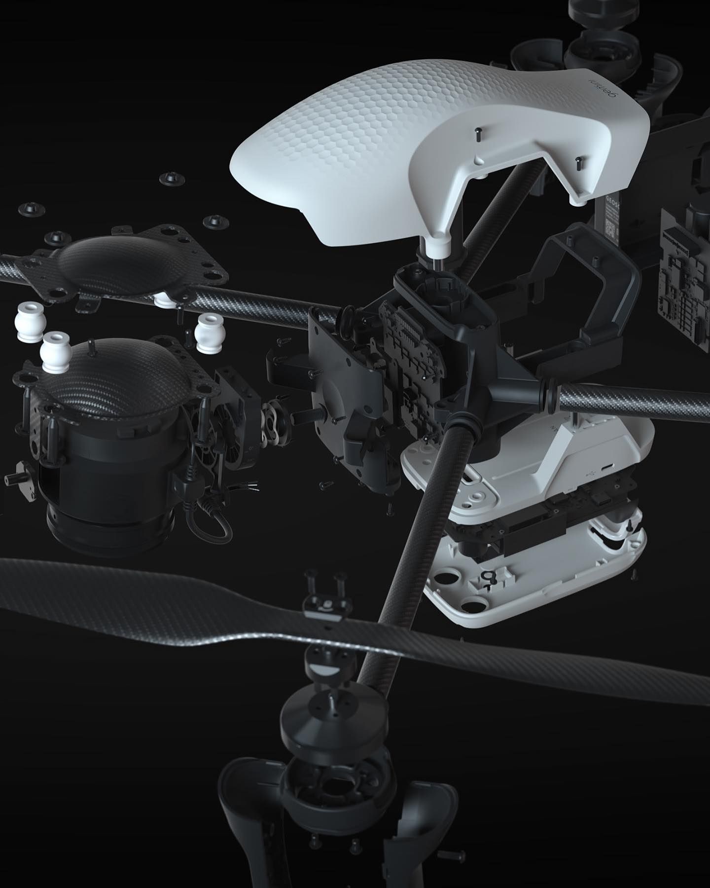
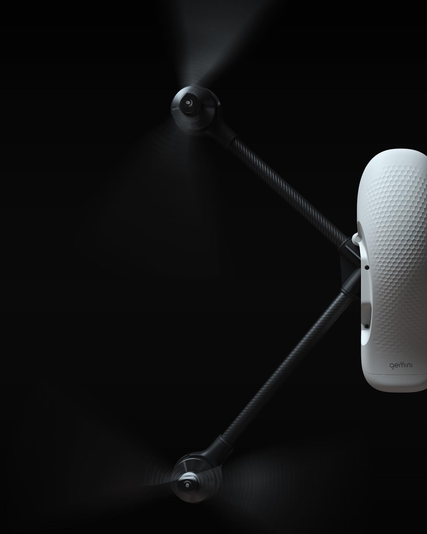
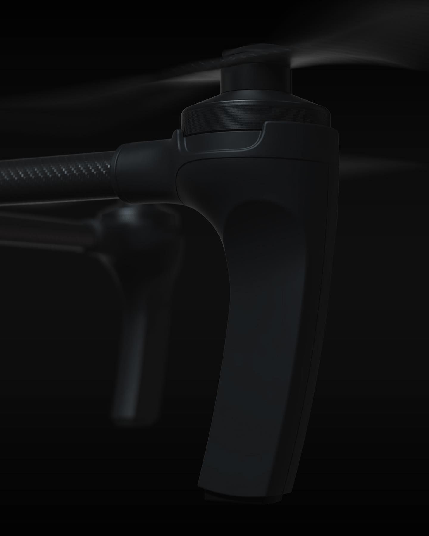
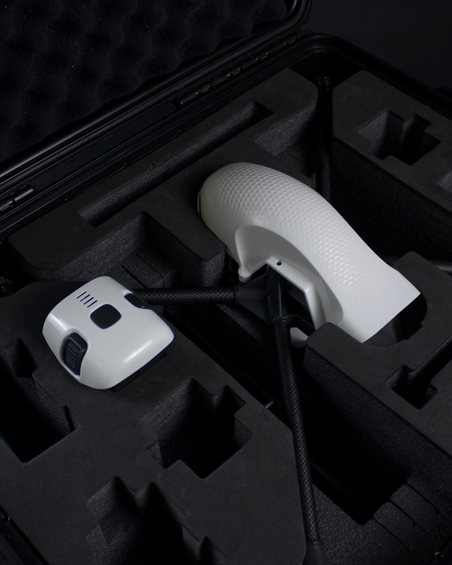
An aerial imaging system for quick and accurate data acquisition for mapping, constructional and cadastral surveying. 🚁
The drone provides high quality images and a geodetic receiver top allows you to get coordinates with centimetre accuracy. 👏🏻
great design and imagery by @ivan.shchipunov and @smirnovdesign
